This was my fifth trip down the Colorado River through the Grand Canyon, 29 days from Lees Ferry to Pearce Ferry; the best trip so far! We had a terrific group and lots of layover days. And finally a raft flip! Actually two in the same day, only about two river miles apart. Quite a eventful day to say the least, and now my record of "no-flip trips" has come to an end. I'm a bit surprised it lasted as long as it did. This was my second trip with my buddy Tom Martin and his wife Hazel Clark, who invited me on my first trip in December 2009. I thought at the time that trip was going to be a once-in-a-lifetime experience, and yet here I was on my fifth trip overall, with the last three occurring less than 15 months apart (the third in December 2016 and the fourth in October 2017). The National Park Service limits everyone (except raft guides on commercial trips) to only one trip per calendar year, so this was three trips in three years for me. I think that's setting a pretty good pace; I'm trying to catch up after so many years of not having any idea how to get on one of these Canyon trips, and especially before I get too decrepit to make it anymore. And I already have my 2019 trip lined up for this coming November!
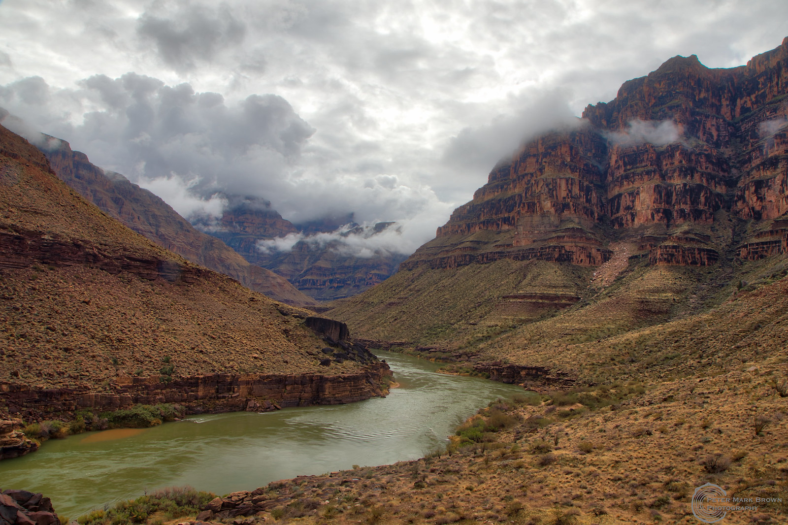
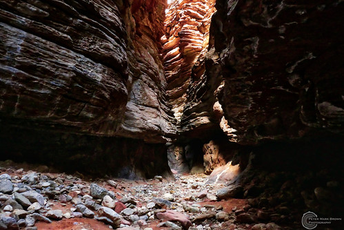
Upstream from Three Springs Canyon, just after a storm.
We had a fabulous group, 13 of us together for the entire 29 days to Pearce Ferry. In addition to Tom and Hazel, we had three other couples: Erika and Emily, Cara and Laurel, and Erika and Pat. Then five more: Kristin, Tom P., Joe, Corey, and me. We packed our own food this trip, which worked out just great. It was the great planning done mainly by Cara, our trip leader. I think the smaller group was a key to the easy-going group dynamic that persisted for the entire month-long trip. Of course an easygoing group is central to a trip like this, and we had the best!
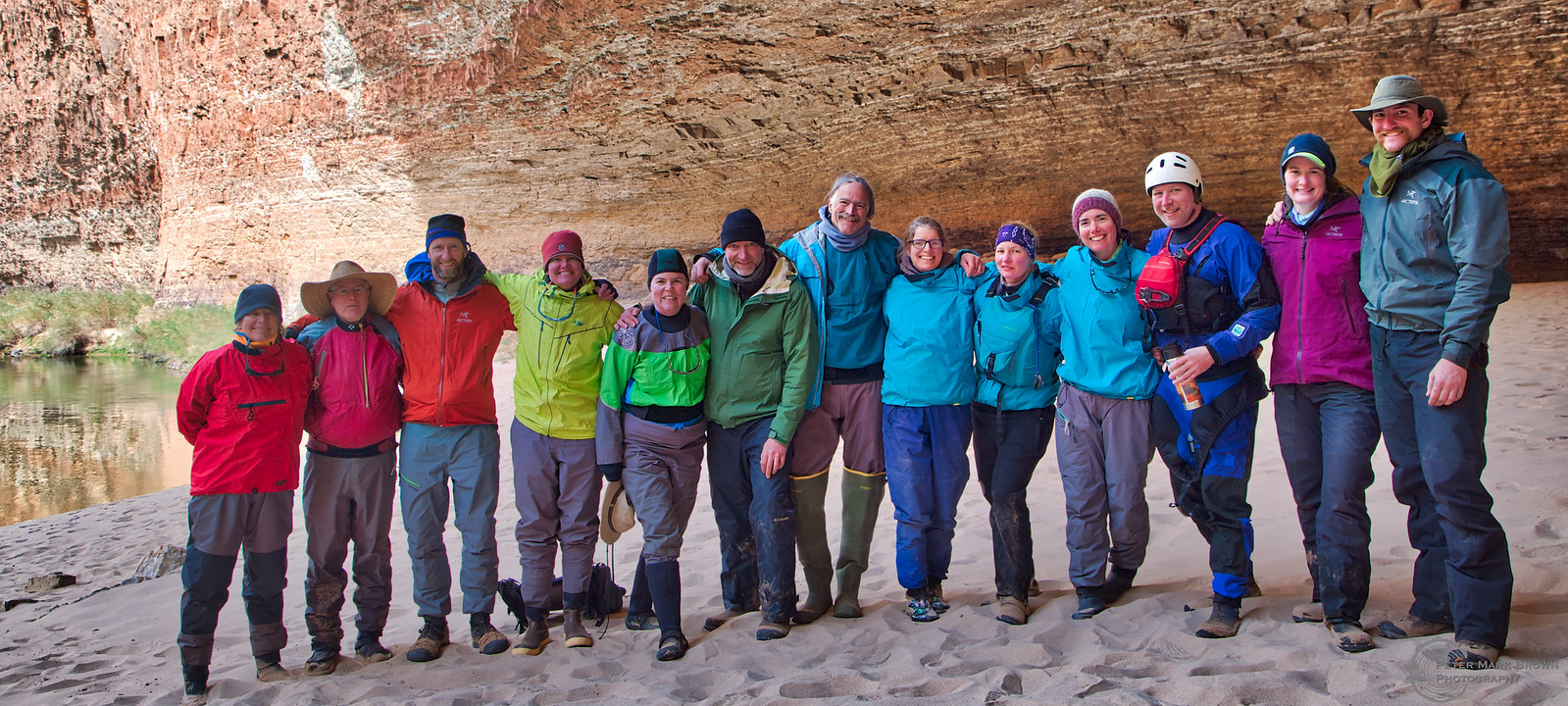
Our rainbow group in Redwall Cavern.
We rented four boats from Canyon REO plus Tom brought his GEM and Corey rowed his kayak. I shared rowing duties with Hazel; she'd row in the morning and I'd take over after lunch. I took two swims, both while I was rowing (the second in Lava!... which was really more of "dip"... I never let go of the boat and Hazel hauled me in right away). The first flip we had on this trip - and the first on any of my River trips - was in Crystal Rapid, which is where a lot of flips occur (and where we had a swim on the second trip I did). It's a big water rapid even for the Canyon, with a huge hole in the middle that one does not want to go through (although I did on my 3rd trip, backwards no less). Our boat this trip made it fine past the big hole but flipped when they hit the wall on the left side downstream. Everyone was ok, and we had a long stop to re-rig the boat and get everyone warm and dry before moving on. But we hadn't gone but a couple more miles downriver until the second flip occurred, this time in an fairly obscure little rapid called Willie's Necktie. The boat pushed up the wrong way against the wall at the end of the rapid and over it went. Just goes to show it can happen anywhere... One more stop to re-rig the boat, dry out, and warm up. Like I said, quite the eventful day!
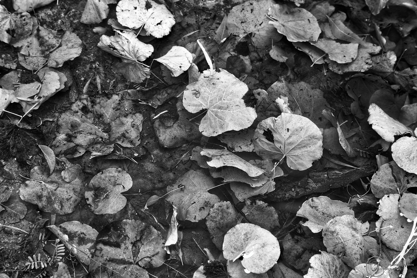
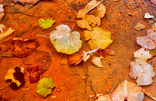
Redbud leaves in water, Little Nankoweep Canyon.
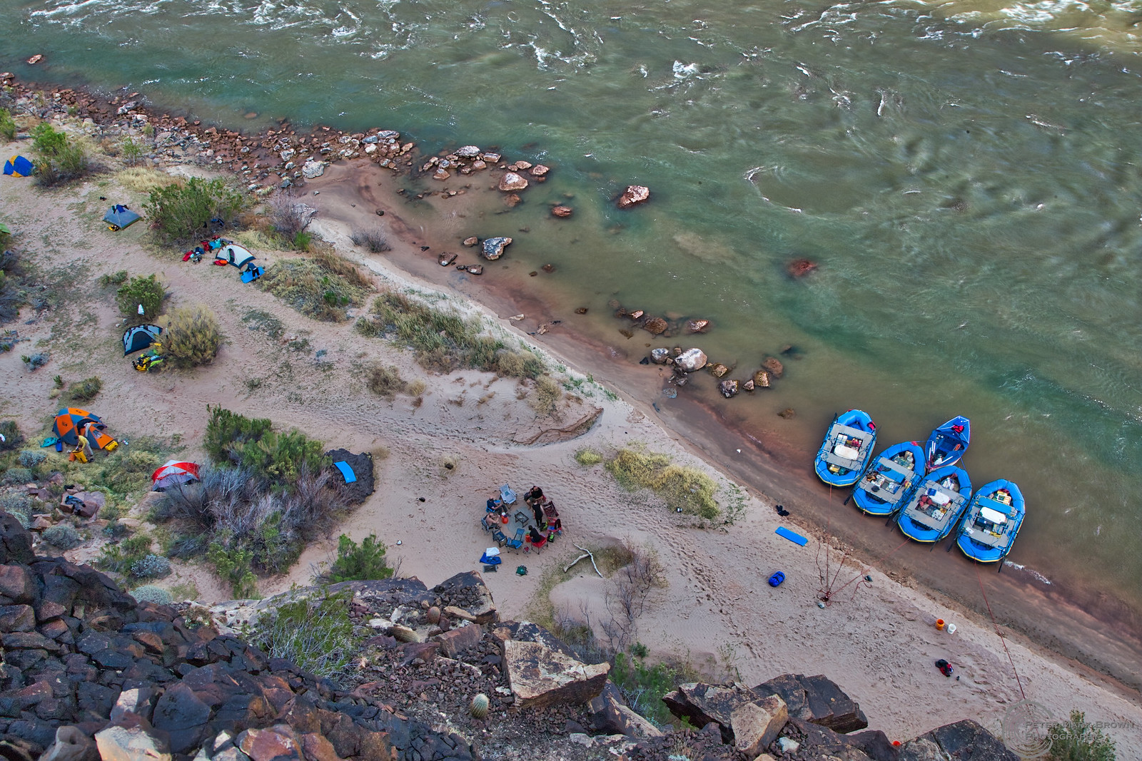
Looking down on our camp at Across From Three Springs Canyon.
Talk about running rapids: Here are two views of me rowing Hance, one of the first really big rapids to contend with starting down the inner gorge. This first run is from our October 2017 trip...
...and here's me rowing Hance on this trip. My entrance is almost exactly the same as a few months before. As I've said before, a major part of running rapids is the setup, getting the boat in the right spot. After that these big, heavy 18 foot rafts take good care of boatmen like me who really have no idea what they're doing!
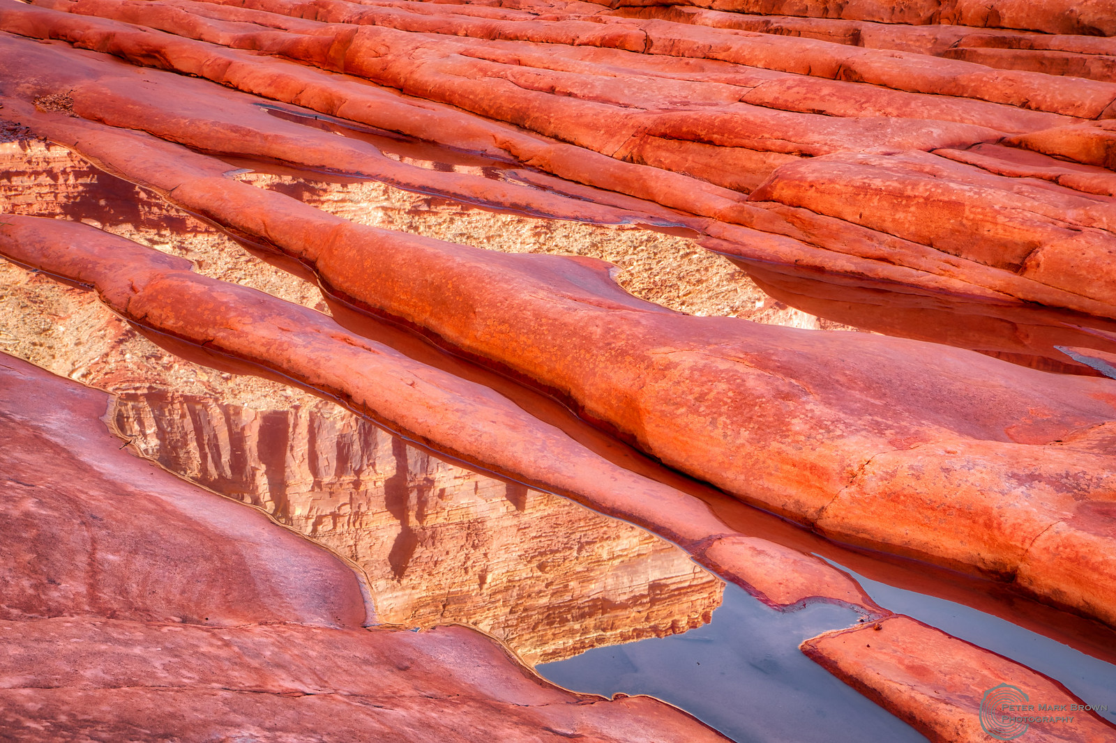
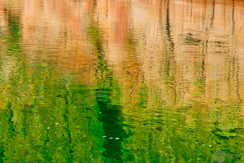
Reflections in North Canyon.
One thing about this trip was the incredible clarity of the water. We could often see the bottom of the River in quieter stretches, maybe down 10-20 feet deep at least. That clarity lasted almost to the end of the trip; it was only when we started into the leftover sediments at the upstream end of Lake Mead that the River became cloudy. This is in strong contrast to what the River was like historically: "too thick to drink and too thin to plow" as the saying goes. The reason of course is today the River is completely imprisoned by Glen Canyon Dam, about 16 miles upstream from Lees Ferry. The River is let out from the bottom of Lake Powell behind the dam, through the penstocks that provide hydropower to Lost Wages and elsewhere in the Four-Corners area. Check out this graph put together by John Fleck of the University of New Mexico showing annual (x-axis) River flow fluctuations (z-axis) in the years (y-axis) since the Colorado River Compact was signed in 1922. The wild River before the dam fluctuated seasonally, with much more extreme floods and deeper dry stretches. And this graph doesn't include even greater spring runoff floods before 1922 that have been documented from geomorphic data. With the dam in place, flows through the Canyon are completely regulated, except for the exceptional high floods that occurred around wet years centered on 1983. More recent blips in late falls are from high flow experiments, intended to redistribute sand and other sediment in the River to help maintain beaches. The problem of course is that sand and sediment are very limited resources in the Canyon of today. The only new sediment coming into the Canyon is primarily from two main tributaries, the Paria River that comes in just below Lees Ferry and the Little Colorado River at River Mile 62. But these are pretty minor contributors relative to the massive watershed that exists above Lake Powell.
River running in the Canyon has grown up in the past few decades based on this completely artificial flow regime. Flows are measured in cubic feet per second (CFS) at the gage at Lees Ferry, and except for the HFE which ramp up to around 40k CFS, they mostly vary between 6k to 15k CFS year-round. Historic floods in the 50s reached over 150k CFS, and geomorphic evidence suggests during the recent Holocene there were floods up to 300-400k CFS. This regulated flow also includes a diurnal fluctuation from hydropower generation; flows lessen at night, then peak during the day when more power is needed. (This can lead to a practical problem for River runners; we always have to watch where the boats are tied up at camps or they can be left high and dry the next morning!) But this regular flow regime does make for some very predictable River running. There's always enough but not too much water for running rapids; we don't have to worry about running them at either extremely high or low levels as in the past when this was a wild River. And the rapids themselves are fairly predictable for the most part; in the past they likely changed often in response to the previous spring flood, with new rocks washed in, or older rocks washed out. Now there's not enough energy left in the River to make large changes in the channel, and boatwomen can be pretty sure that the rapid they ran last year will be more or less the same the next time they run it.
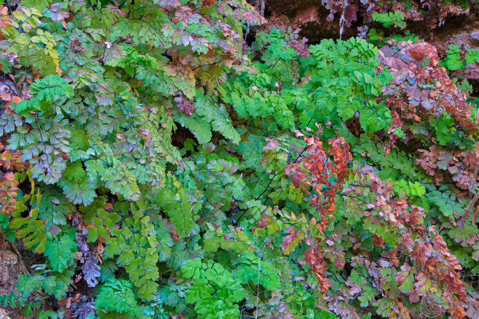
Maidenhair fern, found at every little spring in the Canyon.
So here we have this incredible paradox: the River is trapped in this artificial flow regime, even though it flows through 280 miles of the most amazingly wild and wilderness landscape you could ever imagine of the Grand Canyon. And what's the future look like? So here's a tree-ring story about the River for you. The Colorado River is divided into the Lower and Upper Basins, with the dividing point Lees Ferry. With some exceptions the Upper Basin produces the water (Colorado, Wyoming, Utah, New Mexico) and the Lower Basin consumes it (Arizona, California, Nevada). The compact that divvied the amount of water to each basin was signed in 1922, and these amounts were agreed upon based on gaged flows up to that date. The problem is that up to that date they only had 20 years worth of flow data. This is where tree rings come into play. There have been a series of increasingly more refined and longer tree-ring based flow reconstructions going back up to 1100 years, that show - just by pure coincidence - the early 20th century was one of the wettest - if not the wettest - extended (10-20 year long) pluvials of the last several centuries! Check out this great summary of the whole story from my good buddy Connie Woodhouse and colleagues with the TreeFlow project. Bottom line is the River is way over-allocated in the first place, but more critically, climate change is also making it a lot worse.

Tatahatso Camp, River mile 38. Another camp with a massive red wall of Redwall limestone on the opposite shore.
And now we're in another extended drought, lasting pretty much since 2000 (a "mega-drought"). Another part of the story is that the upper and lower basins have their own water storage reservoirs, Lakes Powell and Mead, which just happen to be separated by the Grand Canyon. Both Powell and Mead are at record lows at present, and projected to only go lower given longer-term climate forecasts. Another thing to know is that Powell - above the Canyon - does nothing worthwhile. There are no agricultural straws in it it, it doesn't serve any urban areas, and one of its recent uses to provide water for the Navajo Generating Station in Page will disappear when the plant closes in 2022. In a few years it'll only be good for hydropower, and a recent study suggested that Glen Canyon is only a minor contribution to the overall western power grid. On the other hand, Mead provides downstream water to several big agricultural areas and is a major contributor of water supplies to several huge urban areas (Lost Wages, Phoenix, Tucson). So here's the deal: more and more people are getting behind a plan to decommission Glen Canyon Dam, drain Lake Powell, and use the water to Fill Mead First. Not only would the water be better allocated to where it's needed most, but the best part is the Canyon would get back its sediment, its floods, its droughts, its warm, silty water, its reworking of its rapids... its wildness.
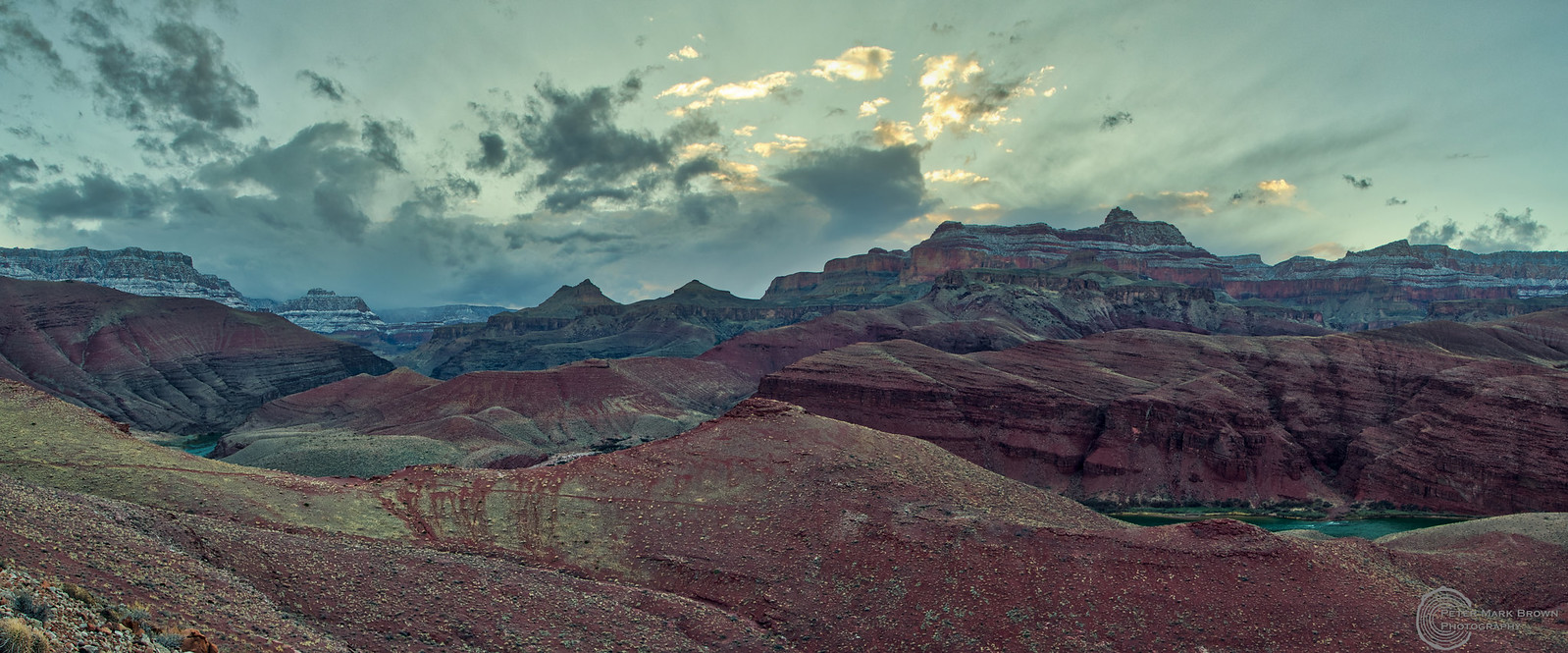
Above Cardenas Camp one lovely evening...
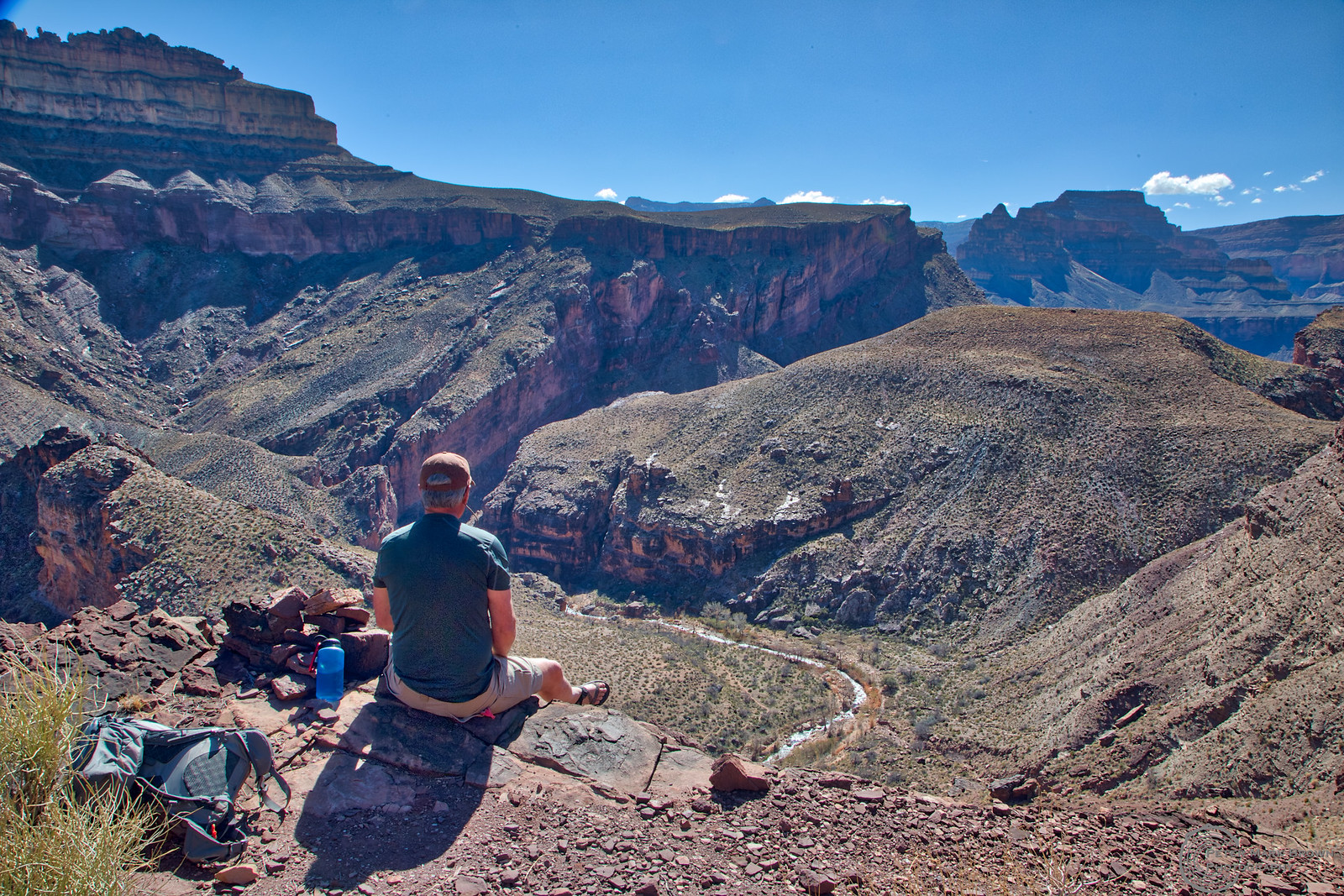
Self-portrait lunch stop on the North Bass Trail, just above Shinumo Creek. I hiked the trail to where it drops into White Canyon, although I've hiked all the way from Swamp Point in the past. North Bass is a terrific hike except for the brush-bashing down White Canyon.
I grew up in Tuba City in the early 60s; we used to go up and watch Glen Canyon Dam being built. It was a nice couple-of-hours Saturday drive and as a little kid it was pretty exciting to see that massive construction project. Of course, at the time I had no idea what that dam was drowning upstream, and what sort of impact it would have on the Canyon downstream. But now I really think (hope) I may live long enough to see the damn thing bypassed and Lake Powell drained. It just makes so much sense: restore the incredible canyons and landscapes drowned by Powell, restore the wild River through the Canyon. I am convinced that one day in the not-to-distant future I'll be able to float on a real flood through the Canyon. And what a wild, wild ride that will be...

The final group photo, at Columbine Falls. This was the greatest group ever to spend a month with on the River! Thank you all again...
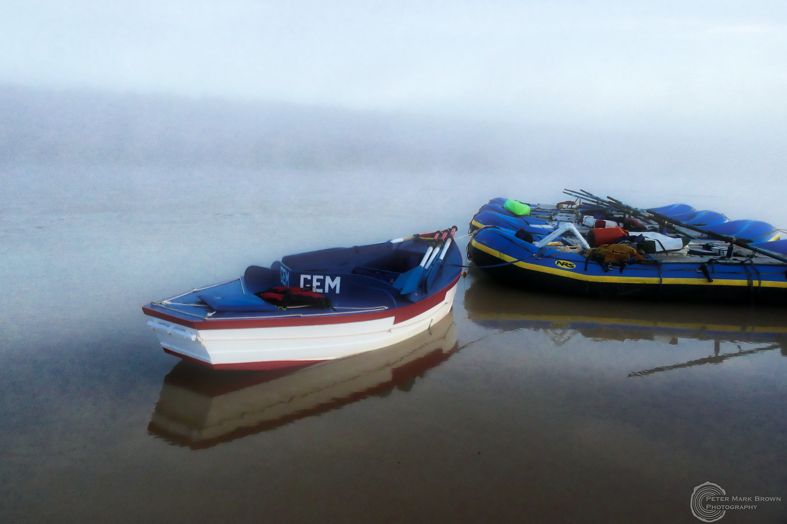
Our last morning on the River, just above Pearce Ferry, cold and foggy; what a magical end to a most incredible trip.
(Larger version of header photo; Boat Wrangling at the mouth of Havasu Creek.)
